This site uses cookies to enhance your user experience. By clicking any link on this site you are giving your consent to our cookie policy. Read more
Reject
Accept All

Advertiser and Editorial Disclosures

Satellite View - Maps - Radar

Satellite View - Maps - Radar

verified

Mortys Games

3.8
Rating
5,000,000+ Downloads
4.0.0 Version
  • category

    Category: Maps & Navigation

  • price

    Price: free

  • age rating

    Age Rating: Everyone

  • rating

    Rating: 3.8

  • available on

    Available on: /

  • updated on

    Updated on: Jul 2, 2026

Screenshot 1
Screenshot 2
Screenshot 3
Screenshot 4
Screenshot 5
Screenshot 6
Screenshot 7
Screenshot 8
Screenshot 9
Screenshot 10
Screenshot 11
Screenshot 12
Screenshot 13
Screenshot 14
Screenshot 15
Screenshot 16
Screenshot 17
Screenshot 18
Screenshot 19
Screenshot 20
Screenshot 21
Screenshot 22
Screenshot 23
Screenshot 24
Screenshot 25
Screenshot 26
Screenshot 27
Screenshot 28
Screenshot 29
Screenshot 30
Screenshot 31
Screenshot 32
Advertisement

Features & Highlights

Customizable Map Layers

Tailor your viewing experience with customizable map layers that let you choose what information is displayed. From terrain to traffic data, you can adjust the settings to suit your needs, ensuring you always have the most relevant information at your fingertips.

Interactive Satellite Imagery

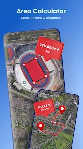
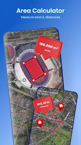
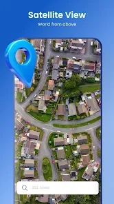
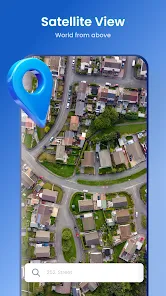
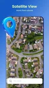
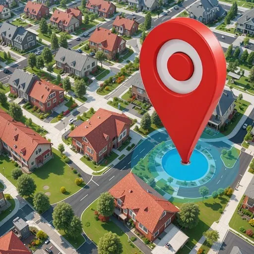
Explore high-resolution satellite imagery that allows you to zoom in and out seamlessly. Whether you’re searching for a specific location or just curious about the world, the interactive map provides a stunning visual experience that brings geography to life.

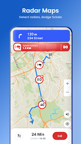
Real-Time Weather Radar

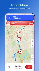
Stay informed with real-time weather radar that displays current conditions in your area. This feature helps you track storms, rainfall, and other weather phenomena, making it easier to plan your day or travel safely.

User-Friendly Interface

Navigating through Satellite View - Maps - Radar is a breeze, thanks to its intuitive design. Users of all ages can easily find their way around the app, making it accessible whether you’re a tech novice or a seasoned pro.

Advertisement

Pros & Cons

Pros
  • Experience real-time satellite imagery
  • Explore high-resolution maps easily
  • Track weather patterns with radar
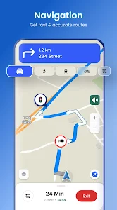
  • Navigate with detailed terrain views
  • Plan trips with live traffic updates
Cons
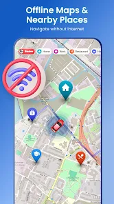
  • Limited offline access
  • High data usage costs
  • Inaccurate real-time updates
  • Overwhelming information display

Real Experience Using Satellite View - Maps - Radar

Real Experience Application Scenarios

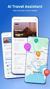
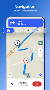
Satellite View - Maps - Radar is a versatile application designed to cater to a variety of user needs. Whether you are planning a road trip, exploring new hiking trails, or simply trying to navigate through a busy city, this app provides an excellent aerial perspective that enhances your overall travel experience. Users can utilize its features for outdoor adventures, allowing them to visualize terrains, identify landmarks, and plan routes more effectively. Additionally, real estate professionals can leverage the app's satellite imagery to assess properties and surrounding areas from a bird's eye view, making it easier to present data to clients. Furthermore, educators can use the app as a teaching tool, helping students understand geographical concepts through interactive maps and radar imagery. The diverse application scenarios make it a valuable tool for both personal and professional use.

User Experience

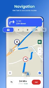
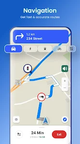
The user experience of Satellite View - Maps - Radar is generally seamless and intuitive. The interface is user-friendly, allowing users of all ages to navigate through its features without hassle. The map loading times are impressively quick, ensuring that users can access information without unnecessary delays. One standout feature is the ability to switch between various map views, including satellite, terrain, and street views, which enhances the overall usability. Users have praised the app's accuracy, particularly in urban environments where detailed satellite imagery plays a pivotal role. Furthermore, the option to save favorite locations and routes adds a personalized touch, making it easier to revisit spots of interest. Overall, the app fosters an engaging experience, allowing users to explore and interact with their surroundings in a unique way.

Pricing

Satellite View - Maps - Radar adopts a freemium model, making it accessible to a wide audience. The base version of the app is free, offering essential features that allow users to explore satellite imagery and basic mapping capabilities. For users seeking a more enhanced experience, there are premium subscription options available that unlock advanced features, such as higher-resolution images, offline access, and ad-free usage. The pricing is competitive compared to similar applications, providing excellent value for the quality of service delivered. Users often find the premium features justify the cost, especially if they rely on the app for professional or frequent use.
Updates & Support

The developers of Satellite View - Maps - Radar are committed to providing regular updates, ensuring that the app remains current with technological advancements and user feedback. Updates often include new features, performance enhancements, and bug fixes, which contribute to a more robust user experience. Customer support is readily available, with a responsive team that addresses queries and issues promptly. Users can access support through various channels, including email and in-app messaging. This commitment to user satisfaction reflects positively on the app’s reputation, as users feel valued and supported throughout their experience.

verified Security & Privacy Review

Security & Privacy Review Satellite View - Maps - Radar prioritizes user security and privacy by employing robust encryption protocols to protect sensitive information. The app adheres to industry standards for data protection, ensuring that user data is not exposed to unauthorized access. The app requires several permissions, including access to location services and storage, which are essential for its functionality. However, users are advised to review these permissions carefully during installation. The app does not request unnecessary permissions, minimizing the risk of data leaks. User data handling practices are transparent, as the app clearly outlines its privacy policy. It does not sell or share personal information with third parties without user consent. Additionally, users have the option to manage their data preferences within the app, enabling them to control how their information is used. Overall, Satellite View - Maps - Radar demonstrates a commitment to security and privacy, making it a trustworthy choice for users concerned about their data safety.
Advertisement

User Reviews

  • James Williams
    2026/05/30

    This app is not what the advertisement claimed! The Earth Time Lapse feature is so grainy that you can't make out anything! And it doesn't allow you to pan in closer so you can see the different stores and places within different time periods! You can barely make out the difference between trees and roads! what's the point of this app?! Two words: money grab!

  • archil melkadze
    2026/06/26

    It was pain to use as soon as i opened it. adds popping up all the time. could not even check how it would work. too many ads. do not even want to think if add pops up during drive.

  • Larry Awbrey
    2026/05/24

    The amount of ads is insane!!! I never got to view the app because of the ads with every click. Instant delete due to the ads. I don't mind paying for a good app, but give me a chance to experience the app without bombarding me with ads!

  • Shannon Burns
    2026/05/28

    installed it, opened it to check it out.... ran into too many ads to ever make it to home screen of the app. I realize sometimes you gotta deal with an ad here and there if you don't wanna pay... but I was so mad within 20 seconds that I just deleted it. so you either pay up or forget it... it gave me road rage and I was sitting on my couch.

  • Michael Klein
    2026/06/24

    installed it to try it out. while loading was hit with an immediate 4-5 ads. thats as far as I got. didn't even wait till it was fully loaded. uninstalled it immediately. didn't let it finish loading after the 4th or 5th ad I closed it and uninstalled it. thanks for coming

Review Source: Google Play store public user reviews.

FAQ

1

Can I share my location with others using the app?

Yes, the Satellite View - Maps - Radar app typically includes a feature that allows users to share their current location with others. This can be done through various methods, such as sending a link via messaging apps or social media. Users should explore the sharing options within the app for more details.

2

Can I use the Satellite View - Maps - Radar app offline?

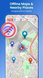
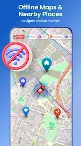
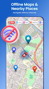
Some features of the Satellite View - Maps - Radar app may be accessible offline, such as previously downloaded maps. However, real-time features like weather radar and live traffic updates generally require an internet connection to function properly. Users are encouraged to check the app's specifications for detailed offline capabilities.

3

Does the app provide real-time traffic updates?

Yes, the Satellite View - Maps - Radar app often includes real-time traffic updates, which allow users to see current traffic conditions, road closures, and delays. This feature helps users plan their routes more effectively and avoid congested areas. Users should ensure they are connected to the internet to access this feature.

4

Does the app require location permissions?

Yes, the Satellite View - Maps - Radar app typically requires location permissions to provide accurate mapping services and features such as real-time navigation and local search results. Users will be prompted to grant these permissions upon initial setup.

5

How accurate is the satellite imagery in the app?

The accuracy of satellite imagery in the app can vary depending on the data sources used and the location being viewed. Generally, the app utilizes high-resolution satellite images that are updated regularly to provide users with accurate visual representations of areas. However, for the most current and detailed information, users should consult the app's updates and data sources.

How to use Satellite View - Maps - Radar

1

How can I contact customer service for the Satellite View - Maps - Radar app?
You can reach customer service through the app's settings menu or by visiting the official website for support options.
2

How do I log in to the Satellite View - Maps - Radar app?

To log in, open the app and enter your registered email and password on the login screen.

3

Is there a way to activate premium features in the Satellite View - Maps - Radar app?

Yes, you can activate premium features by purchasing a subscription through the app's settings under the premium options.

4

What is the customer number for the Satellite View - Maps - Radar app?

The customer number can usually be found in the app's settings or on the official website under the contact section.

What's New

• General performance optimizations and bug fixes for a smoother and faster experience.Thanks for using our app!
Editor's Choice